permit-tracker
I want to create 1 application that is able to handle viewing the most recent O&G well permits from multiple different states. This web app will pull information from Colorado Pending Permits: https://ecmc.state.co.us/documents/data/downloads/gis/PERMITS_PENDING_SHP.ZIP and Colorado Active Permits: https://ecmc.state.co.us/documents/data/downloads/gis/PERMITS_SHP.ZIP for Colorado. And: https://gis-cnra.hub.arcgis.com/api/download/v1/items/3a70e2e40b03403fb4504f2566a193e2/csv?layers=1 for California. Read these datasets (unzip the shapefile and read the shapefile for Colorado permits). I want to basically see from these 3 datasets the last 7 days of activity + any future activity. From the SCHEMA of these tables, make all the right connections so I can see in 1 view, all the new things that are happening with these permits. There is more to come with other states like Texas/North Dakota, but leave those out for now. Develop the plan, and ask any undefined questions at the end of the plan that I will answer before implementation.


Comments (0)
Sign in to leave a comment
Architecture
No Services Diagrams Yet
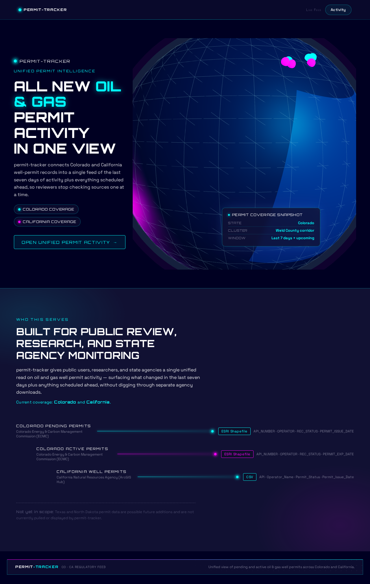
ALL NEW OIL & GAS
PERMIT ACTIVITY
IN ONE VIEW
permit-tracker connects Colorado and California well-permit records into a single feed of the last seven days of activity plus everything scheduled ahead, so reviewers stop checking sources one at a time.
Built for public review, research, and state agency monitoring
permit-tracker gives public users, researchers, and state agencies a single unified read on oil and gas well permit activity — surfacing what changed in the last seven days plus anything scheduled ahead, without digging through separate agency downloads.
Current coverage: Colorado and California.
- Colorado Pending Permits
- Colorado Active Permits
- California Well Permits
Not yet in scope: Texas and North Dakota permit data are possible future additions and are not currently pulled or displayed by permit-tracker.
ALL NEW OIL & GAS
PERMIT ACTIVITY
IN ONE VIEW
permit-tracker connects Colorado and California well-permit records into a single feed of the last seven days of activity plus everything scheduled ahead, so reviewers stop checking sources one at a time.
Built for public review, research, and state agency monitoring
permit-tracker gives public users, researchers, and state agencies a single unified read on oil and gas well permit activity — surfacing what changed in the last seven days plus anything scheduled ahead, without digging through separate agency downloads.
Current coverage: Colorado and California.
- Colorado Pending Permits
- Colorado Active Permits
- California Well Permits
Not yet in scope: Texas and North Dakota permit data are possible future additions and are not currently pulled or displayed by permit-tracker.
No comments yet. Be the first!