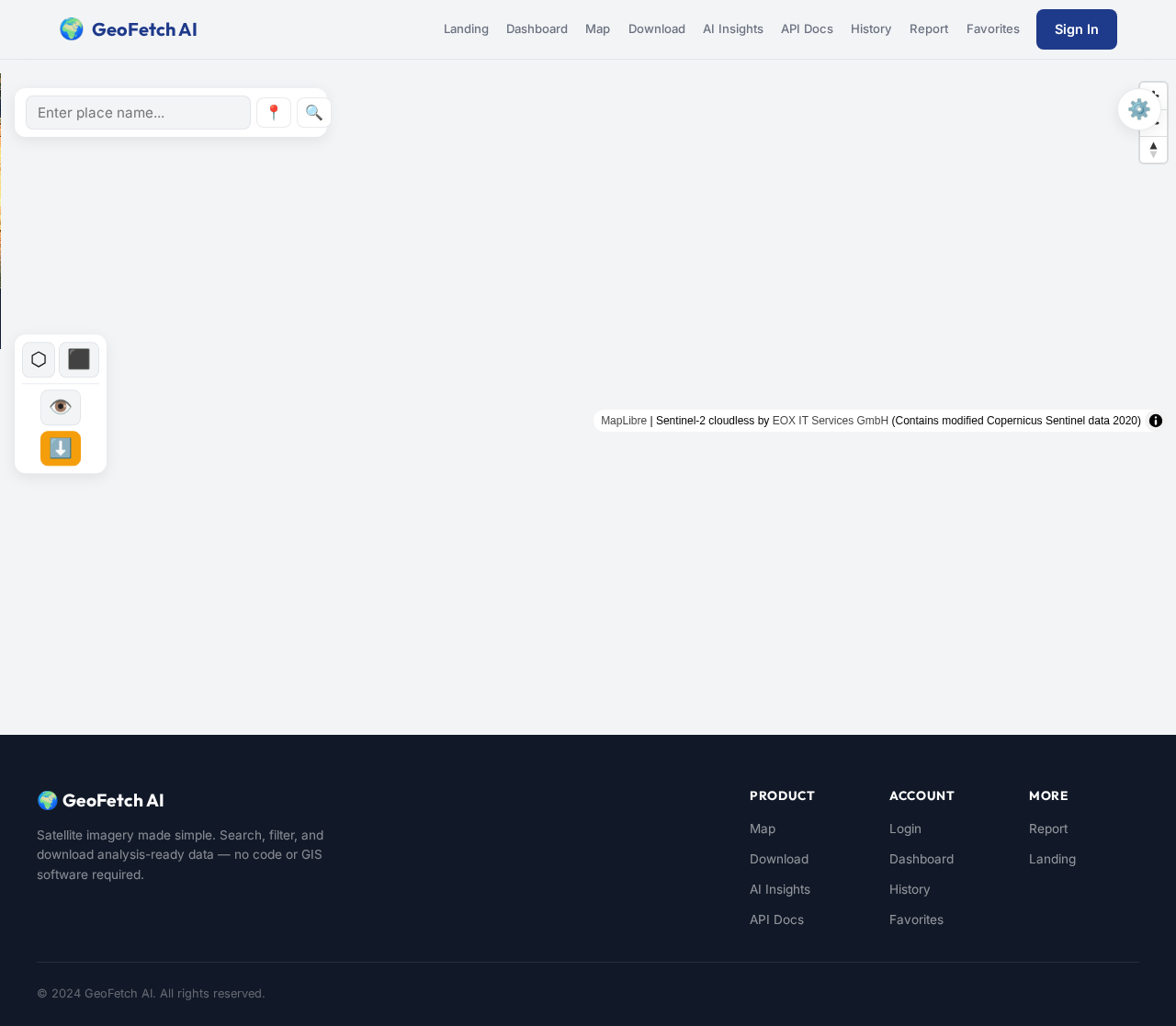
MapLibre | Sentinel-2 cloudless by EOX IT Services GmbH (Contains modified Copernicus Sentinel data 2020)
GEo
by Vijay Nathan
Vijay NathanAct as a senior software architect, GIS engineer, UI/UX designer, and full-stack developer. Build a production-ready SaaS called "GeoFetch AI." Goal: Create a web platform where users can search for any location on Earth and download analysis-ready satellite imagery without coding or GIS software. Requirements: Frontend: - Next.js (TypeScript) - Tailwind CSS - Responsive design - Interactive map using MapLibre GL - Dark/light mode - Dashboard with authentication Backend: - FastAPI (Python) - PostgreSQL + PostGIS - JWT authentication - REST API - Background jobs for long-running downloads - Dockerized services Core Features: 1. Search by place name or coordinates. 2. Draw polygon or rectangle AOI. 3. Select Sentinel-2, Landsat 8, or Landsat 9. 4. Choose a date or date range. 5. Filter by cloud cover. 6. Preview imagery on the map. 7. Automatically clip imagery to the AOI. 8. Download as GeoTIFF, PNG, JPEG, or COG. 9. Export image metadata. 10. Save download history and favorite AOIs. AI Features: - Explain satellite images in plain English. - Recommend the best imagery based on cloud cover. - Suggest spectral indices (NDVI, NDWI, NBR). - Generate a short report describing the selected area. Architecture: - Modular, scalable codebase. - Separate frontend, backend, database, and worker services. - Include Docker Compose for local development. - Use environment variables for configuration. Deliverables: - Complete project folder structure. - Database schema. - API documentation (OpenAPI). - Authentication flow. - UI mockups. - Backend implementation. - Frontend implementation. - Deployment guide. - Testing strategy. - CI/CD pipeline outline. - Roadmap for future features. Follow clean architecture principles, document all major design decisions, and explain code where appropriate. bulid me this micro saas idea


Comments (0)
Sign in to leave a comment
🛰️ Satellite Imagery Made Simple
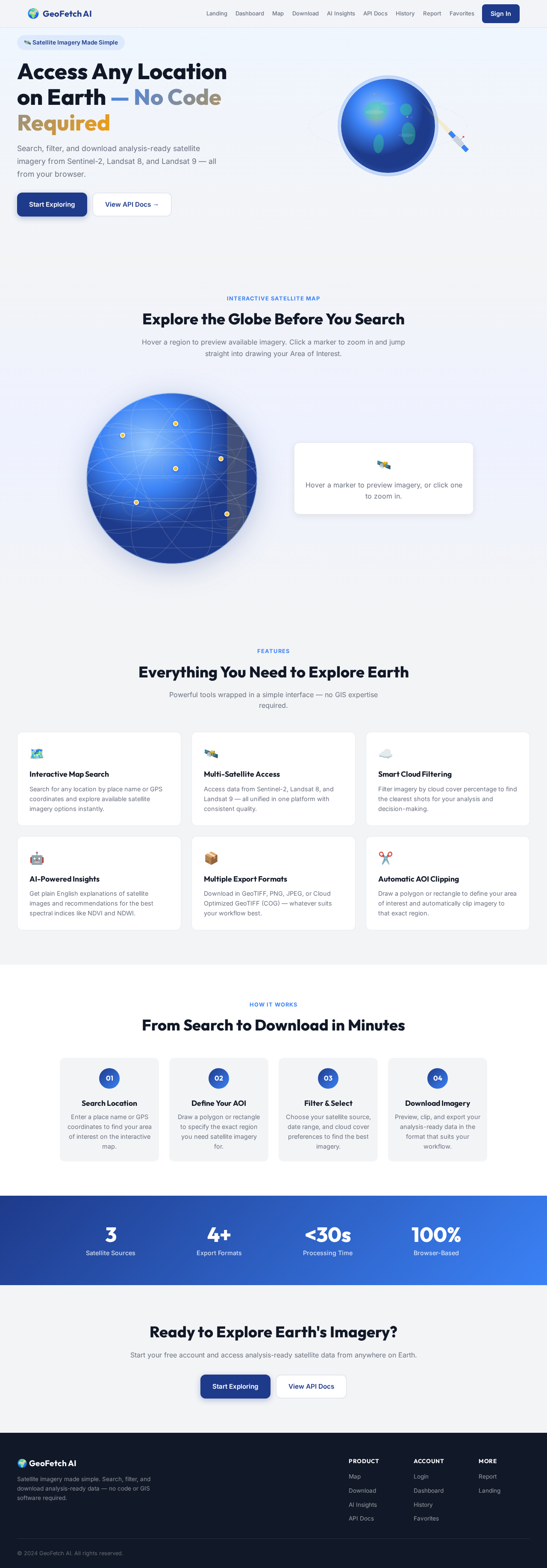
Access Any Location on Earth — No Code Required
Search, filter, and download analysis-ready satellite imagery from Sentinel-2, Landsat 8, and Landsat 9 — all from your browser.
Interactive Satellite Map
Explore the Globe Before You Search
Hover a region to preview available imagery. Click a marker to zoom in and jump straight into drawing your Area of Interest.
Hover a marker to preview imagery, or click one to zoom in.
Features
Everything You Need to Explore Earth
Powerful tools wrapped in a simple interface — no GIS expertise required.
🗺️
Interactive Map Search
Search for any location by place name or GPS coordinates and explore available satellite imagery options instantly.
🛰️
Multi-Satellite Access
Access data from Sentinel-2, Landsat 8, and Landsat 9 — all unified in one platform with consistent quality.
☁️
Smart Cloud Filtering
Filter imagery by cloud cover percentage to find the clearest shots for your analysis and decision-making.
🤖
AI-Powered Insights
Get plain English explanations of satellite images and recommendations for the best spectral indices like NDVI and NDWI.
📦
Multiple Export Formats
Download in GeoTIFF, PNG, JPEG, or Cloud Optimized GeoTIFF (COG) — whatever suits your workflow best.
✂️
Automatic AOI Clipping
Draw a polygon or rectangle to define your area of interest and automatically clip imagery to that exact region.
How It Works
From Search to Download in Minutes
01
Search Location
Enter a place name or GPS coordinates to find your area of interest on the interactive map.
02
Define Your AOI
Draw a polygon or rectangle to specify the exact region you need satellite imagery for.
03
Filter & Select
Choose your satellite source, date range, and cloud cover preferences to find the best imagery.
04
Download Imagery
Preview, clip, and export your analysis-ready data in the format that suits your workflow.
3Satellite Sources
4+Export Formats
<30sProcessing Time
100%Browser-Based
Ready to Explore Earth's Imagery?
Start your free account and access analysis-ready satellite data from anywhere on Earth.
No comments yet. Be the first!